
Walk to the Sainte-Cécile suspension bridge
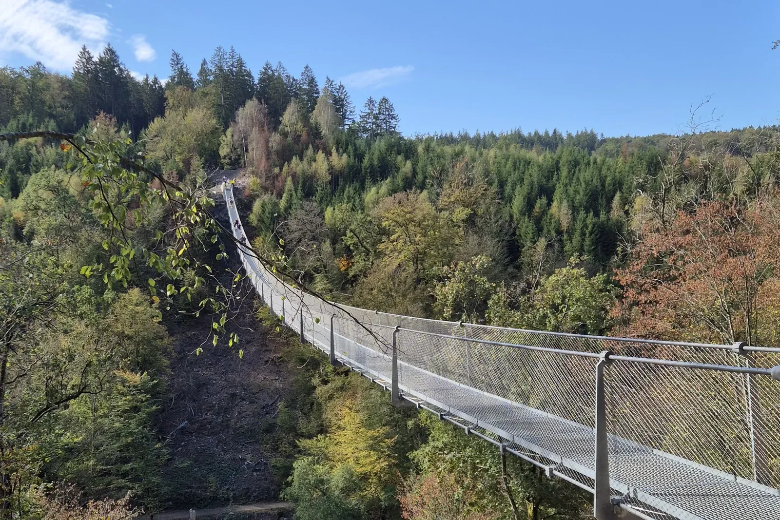
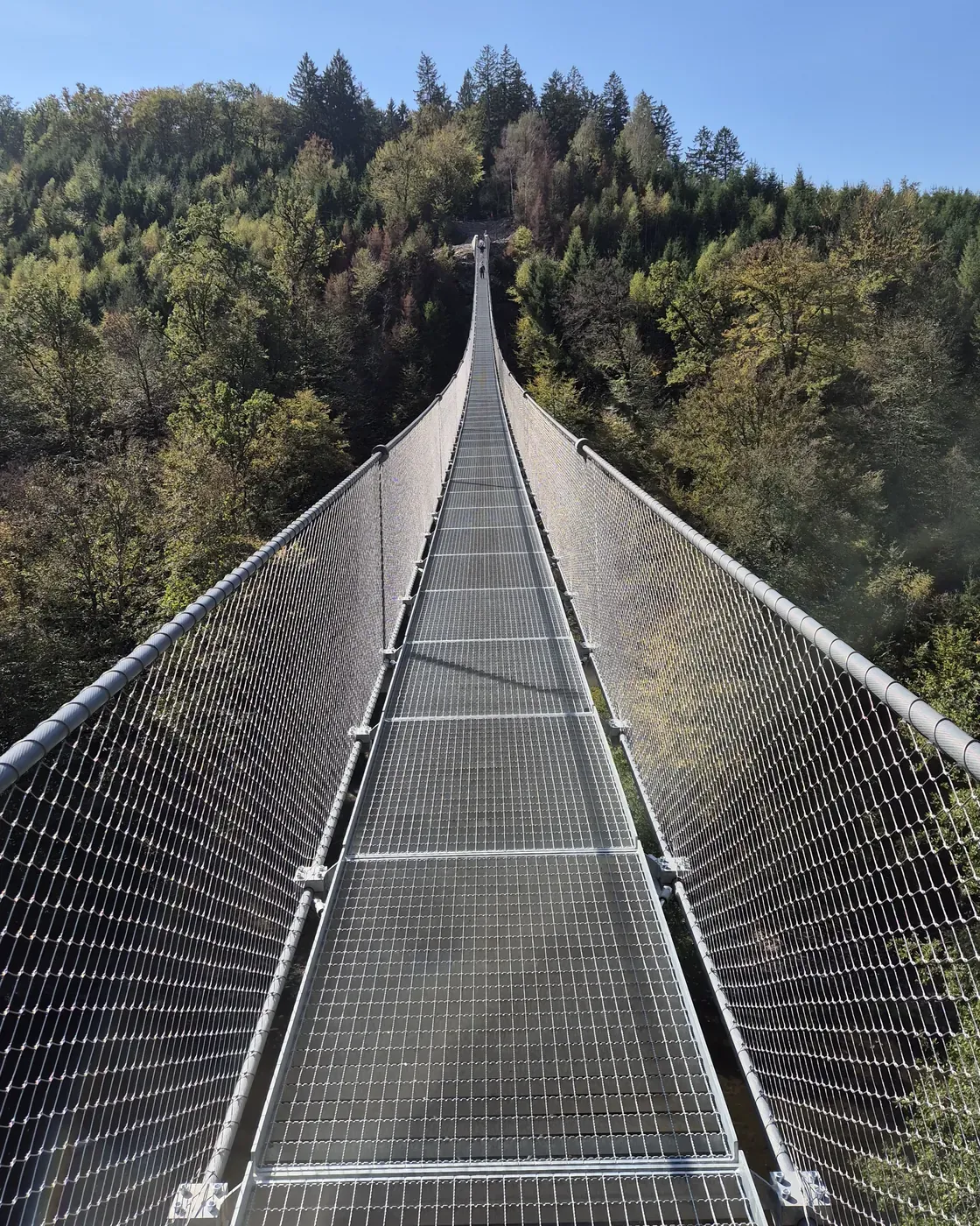
The suspension bridge at Sainte-Cécile, officially the Passerelle himalayenne (Himalayan footbridge), is 185 metres long, one metre wide and hangs about 30 metres above the river Semois. It is free, open all year and was inaugurated on 20 June 2026. We walked the green loop of about 6 kilometres on Sunday 4 October: through the forest to the bridge, across, down to the water on the other side, and back. Allow two hours, longer with a picnic. Below you'll find how to get there, where to park and what to watch out for.
Where is the Sainte-Cécile suspension bridge?
Sainte-Cécile is a village in the municipality of Florenville, in the south of the Belgian province of Luxembourg. The bridge spans the Semois valley between the Sainte-Cécile forest and the Domaine des Épioux on the opposite bank. It all lies within the Parc national de la Vallée de la Semois, the region's new national park. On one side the bridge joins the GR 16 long-distance trail, on the other the GR 129.
Getting there from ArdenNest
From our holiday house in Malvoisin it is 50 kilometres, about 50 minutes. The easiest way is via Bouillon: the N95 through Bièvre to Bouillon, then the N89 towards Florenville, and the N83 to Sainte-Cécile. In the village, follow the Rue d'Herbeumont to the car park. Via Bertrix the distance is about the same, but with more small roads and turns. Note: put the car park into your satnav, not the bridge. The bridge is in the middle of the forest and can only be reached on foot; type in "passerelle" and you may end up on closed forest tracks.
- Open the route in Google Maps, starting at Rue de la Ferme 3, Malvoisin, via Bouillon.
- Combine it with Bouillon Castle, which is on the way.
Good to know: the bridge fits perfectly into your departure day. After the walk, drive via Herbeumont and Bertrix to the E411 at Libramont and head home from there. And if you arrive too early for the 4 pm check-in, this puts you straight into the heart of the Ardennes.
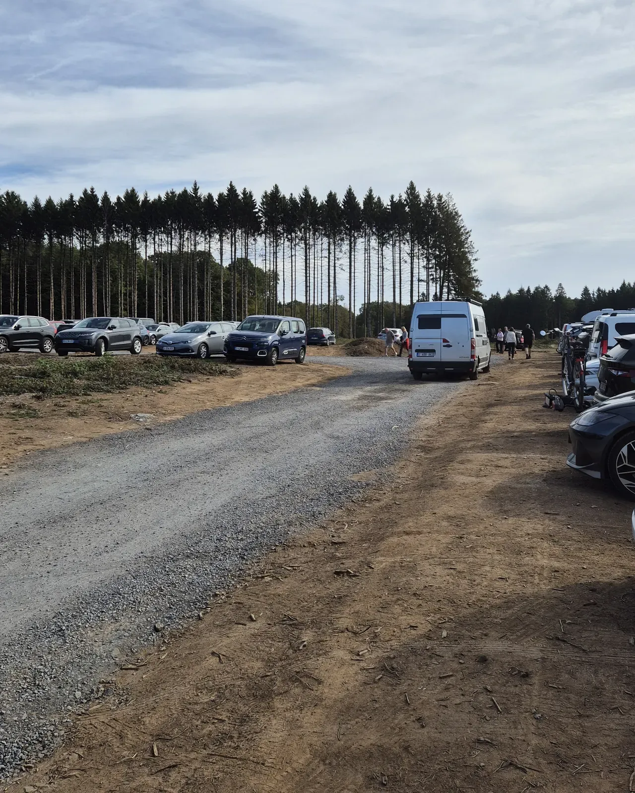
Parking: a large car park on Rue d'Herbeumont
At the start there is a large, free car park on an open field along the Rue d'Herbeumont (GPS 49.7385, 5.2442). On a sunny Sunday in October there were around a hundred cars. So come early if you can, or expect a short walk along the road.
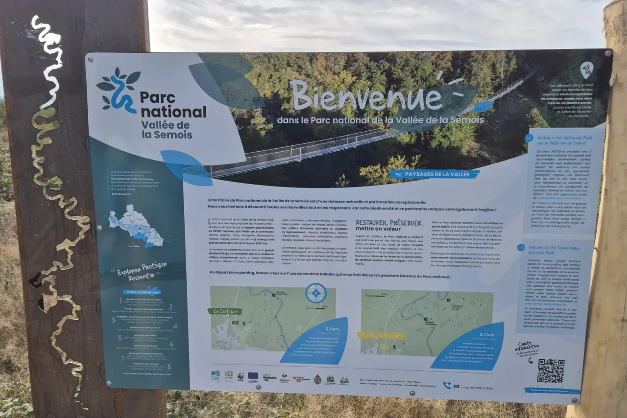
At the start you'll find two benches and a large information board with a map of the walks. Our tip: take a photo of the map. The waymarking along the way isn't always clear. We saw signs for walks 6, 9 and a "16", and on the last climb there were no signs at all. That "16", we found out later, is the yellow route to the Rocher du Chat on the far side of the bridge. We used the free Mapy.com app, which also works offline. Komoot does the same job.
Our walk: the green loop of about 6 km
We followed the green walk, about 6 kilometres according to the board. Many paths cross each other, so the loop can be anything from 6 to 10 kilometres depending on your choices. The yellow loop is 9 kilometres.
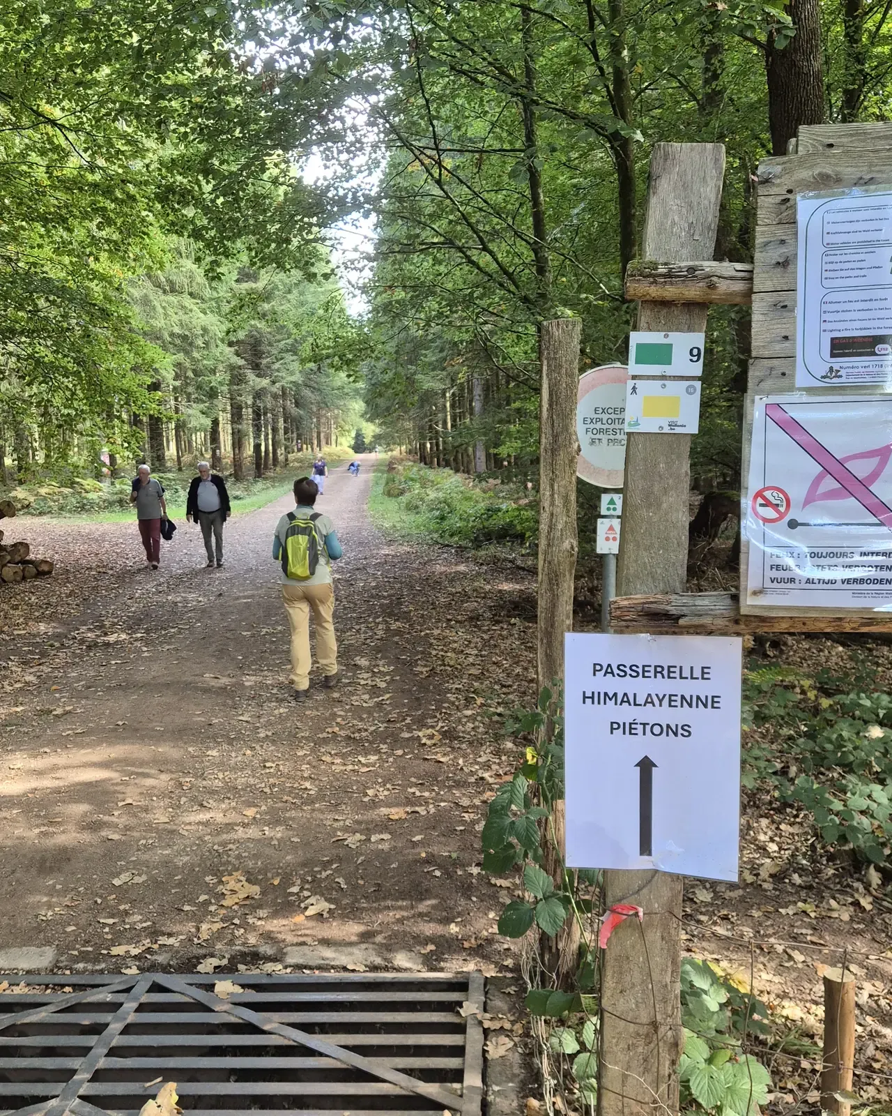
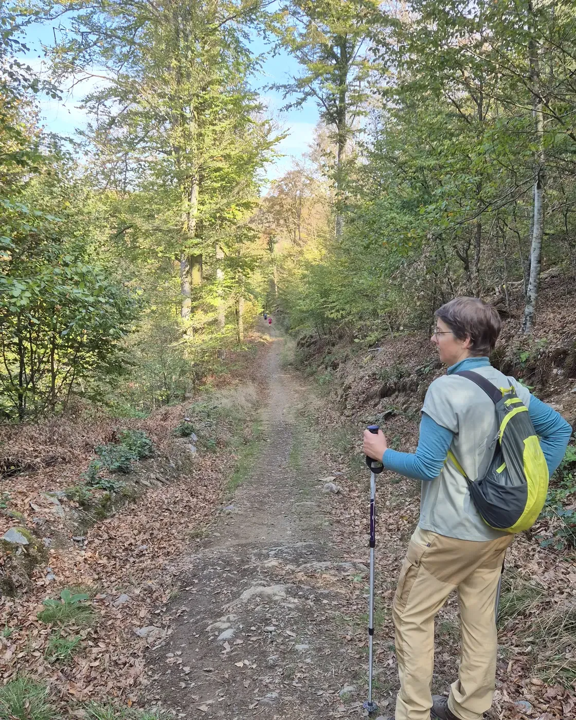
From the car park there is a short stretch of tarmac, then a flat, wide forest track. A white sign reading "Passerelle himalayenne piétons" points the way. The forest is open broadleaf woodland with big oaks and wide tracks. In early October it was only just starting to turn; the real autumn colours are still to come.
Tip at the bridge: the entrance is slightly lower than the path. Don't go straight down; walk about fifty metres to the right, where access is easier.
Crossing the bridge: 185 metres, and it moves
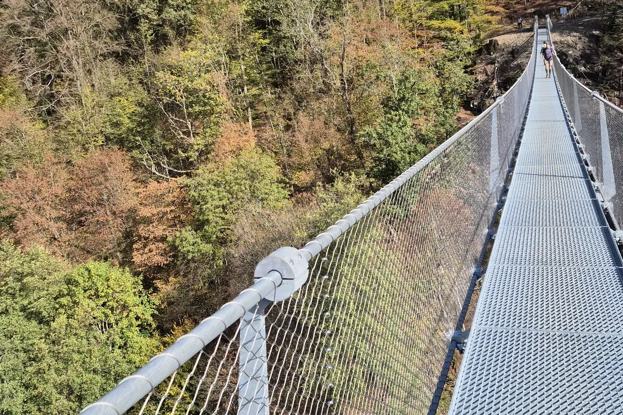
You step onto the steel grating between two concrete pillars. And you notice it straight away: this is not a fixed bridge. Everyone who walks across gives it a rhythm. You feel it move, gently but clearly.
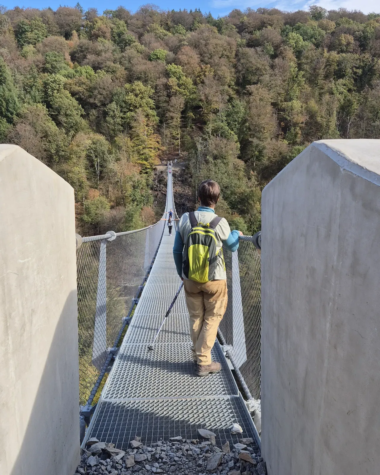
Halfway across you look straight down at the Semois winding between wooded slopes. And through the grating under your feet you can see the valley floor.
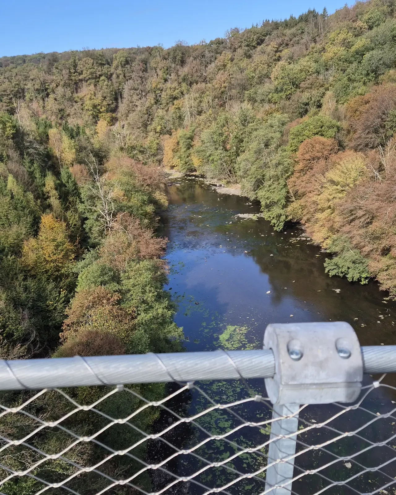
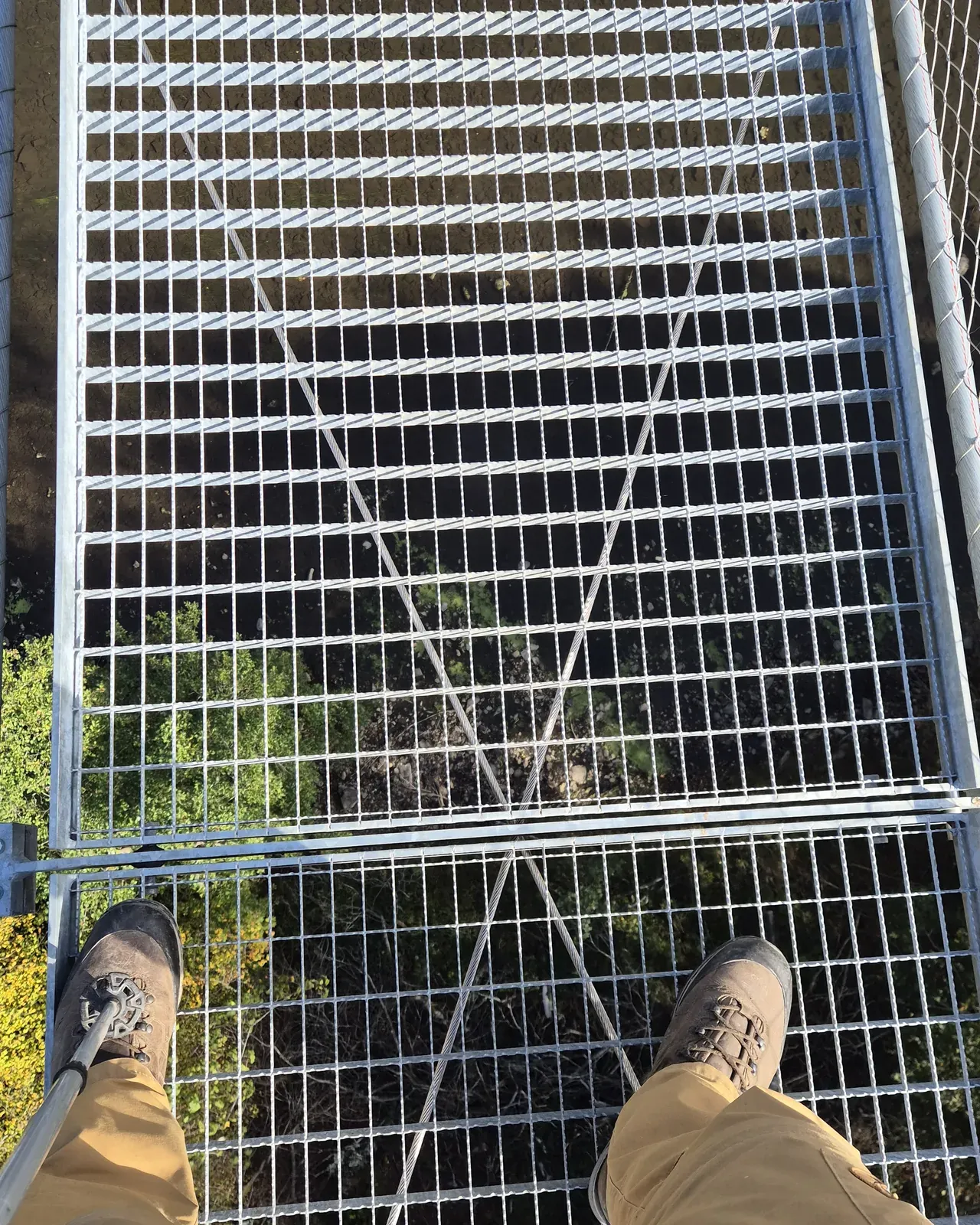
Afraid of heights? Take that seriously. We saw someone who didn't dare to cross. Some reviews call the bridge "not that high". We disagree: you are hanging over a deep valley, on a bridge that moves.
On the other side: through the woods to the Semois
On the far side the path runs through a sloping forest. We walked a small loop anticlockwise there and went down to the banks of the Semois. The path first runs a little above the river and later right along the water.
Down by the river there is a long, lovely picnic spot among the oaks, right by the water and easy to reach. Plenty of room, even for a group. Children can sit on the bank and watch the water flow over the rocks. In the river, natural stone ledges form small rapids.
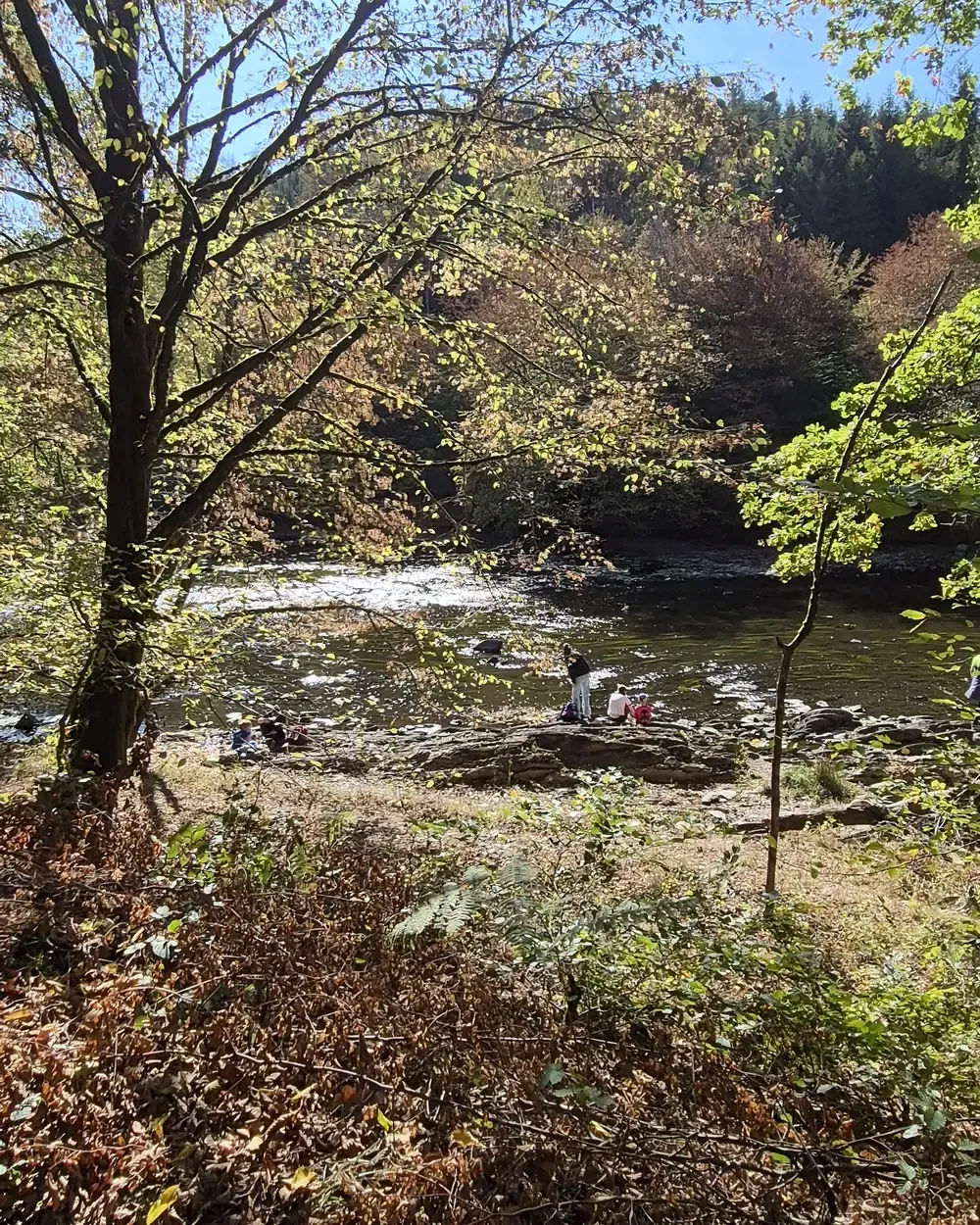
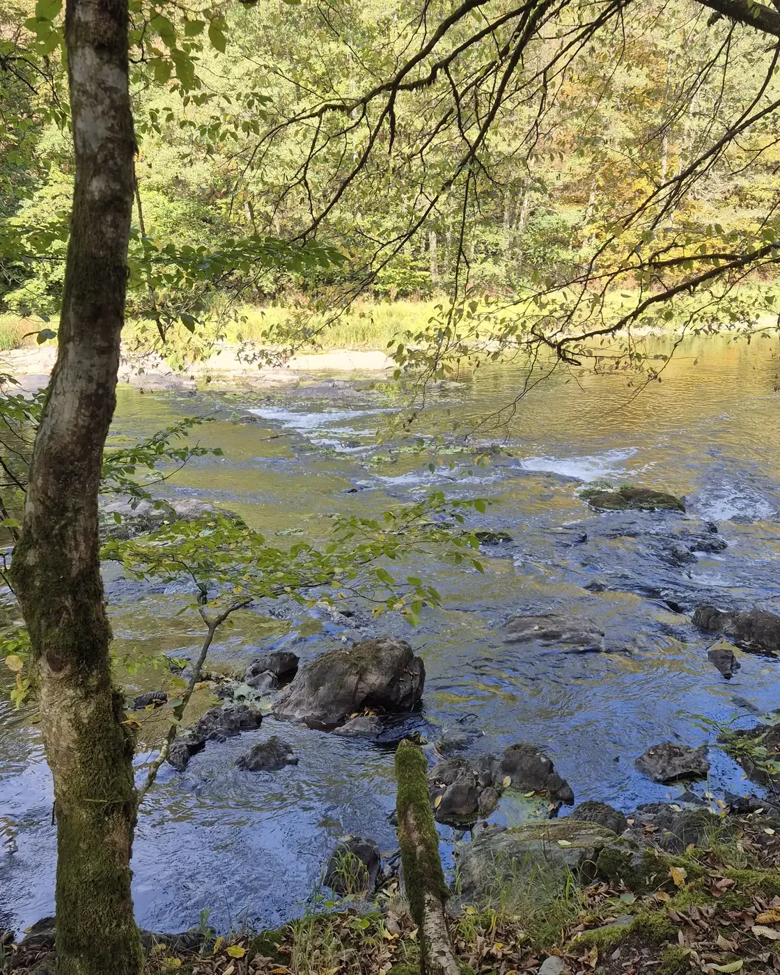
Then you climb back up to the bridge and cross again. In this direction the bridge itself slopes upwards, and after the climb from the river you feel it. From there it's a flat stretch through the forest back to the car park.
A longer walk: to the Rocher du Chat
If you have more time, carry on from the far side to the Rocher du Chat, a rocky outcrop in the Domaine des Épioux that looks out high over the bends of the Semois. After the bridge, follow the yellow rectangle numbered 16. From the car park the loop is almost 8 kilometres with about 280 metres of climbing; allow around three hours. We haven't done it ourselves yet. A description with map and GPX is on Visorando.
Who is this walk for?
- With children: yes. Hold their hand on the bridge; the bridge rules ask for that too.
- With a buggy or pushchair: no. The descent and climb are too steep and the bridge is a steel grating. A baby carrier works fine.
- With a wheelchair: unfortunately not. The forest paths to the bridge have slopes, roots and stones.
- With bad knees: the descent along the slopes is not easy. A walking pole helps. You don't need proper mountain boots, but sturdy shoes, yes.
- With a dog: allowed, on a lead.
- By bike: on the bridge you get off and push.
The bridge is free and open all year, but it closes in storms, strong wind, frost or ice. If in doubt, check the Florenville tourist office page (in French) or Visit Gaume. The official waymarked loops are on the Parc national de la Vallée de la Semois website.
Afterwards: a drink at La Forgerie
After the walk we drove two minutes to the village square of Sainte-Cécile, to the café-restaurant La Forgerie. It is housed in an old forge at the foot of the church, Place du Centenaire 3. A genuine village café, a bit old-fashioned, but look past that: in good weather you sit outside on the square under the trees, which is exactly what you want after a walk like this. From the car park it's 1.2 kilometres: route from the car park to La Forgerie.
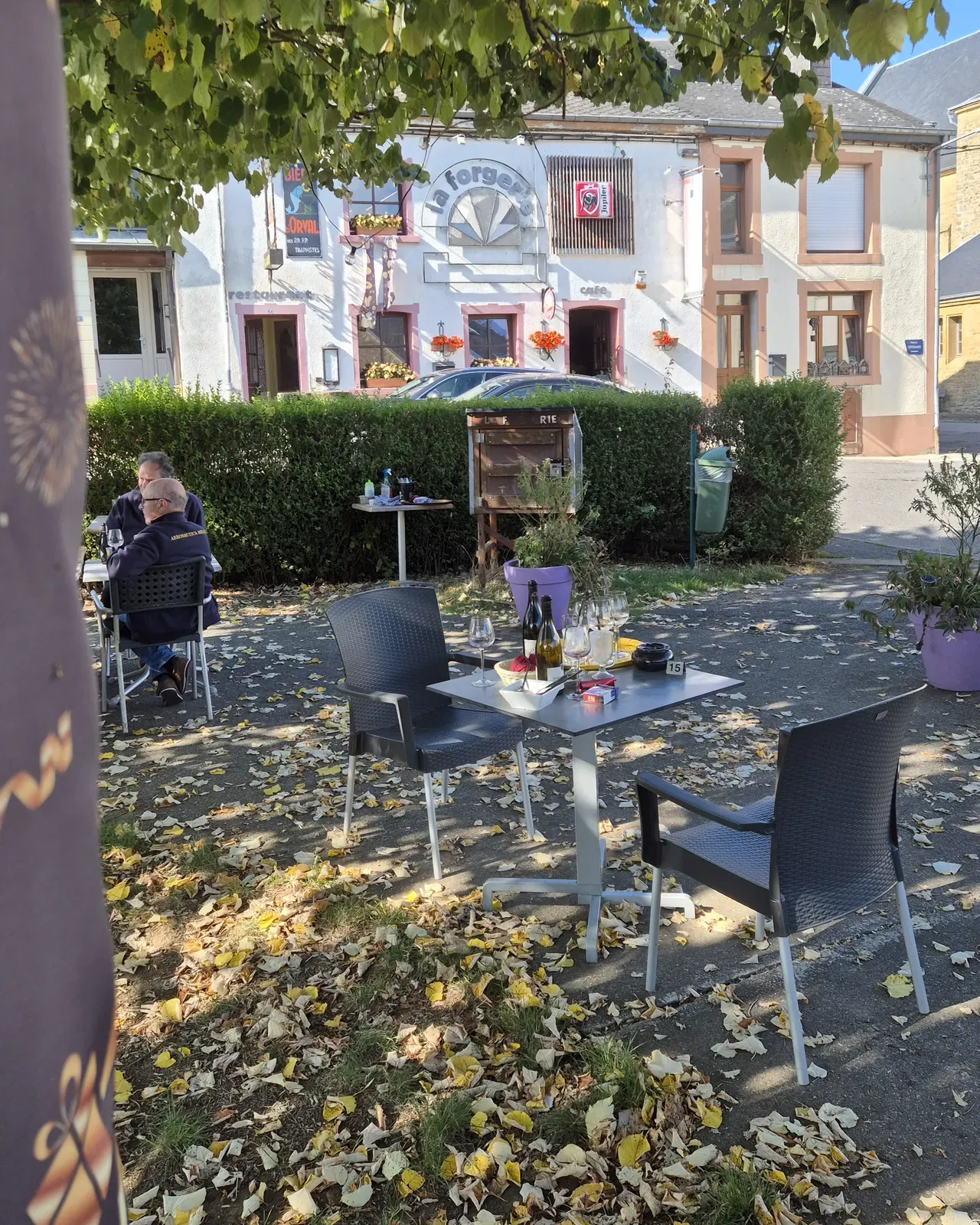
We drank two excellent local alcohol-free beers there, from the Lupulus brewery in Gouvy, also in the province of Luxembourg:
- Lupulus Placebo 0.0%: a fresh, hoppy alcohol-free beer with Mosaic and Citra hops.
- Lupulus Bleuette 0.0%: a dark, fruity alcohol-free beer with red fruit and a slightly tart note that recalls blueberries.
So even the drivers get something good.

Opening hours vary by season. If in doubt, give them a call on +32 61 31 47 73. If you still have time: in the neighbouring village of Herbeumont, the ruins of a medieval castle look out over the bends of the Semois.
More Semois and more walks
All practical information about the bridge is also on our page Sainte-Cécile Himalayan footbridge. Fancy another adventurous walk along the same river? Try the ladder walk at Rochehaut. You'll find more walks from the house on our walks page.
Spending a few days in the Ardennes as a group? Our holiday house in Malvoisin sleeps large groups, 50 minutes from the footbridge. Check the availability.
Frequently asked questions
How long and how high is the Sainte-Cécile suspension bridge?
The Himalayan footbridge at Sainte-Cécile is 185 metres long and one metre wide. It hangs about 30 metres above the Semois. The bridge was inaugurated on 20 June 2026.
Where do you park for the Sainte-Cécile footbridge?
At the large, free car park on Rue d'Herbeumont in Sainte-Cécile (GPS 49.7385, 5.2442). From there it's about a kilometre and a half on foot through the forest to the bridge. On sunny weekends the car park fills up quickly.
How long is the walk to the suspension bridge?
The green loop is about 6 kilometres. Allow two hours, longer with a picnic by the Semois. There is also a yellow loop of 9 kilometres.
Can you visit the footbridge with a pushchair, wheelchair or dog?
We advise against a buggy or pushchair: the paths are steep and the bridge is a steel grating. A baby carrier is fine. The bridge cannot be reached in a wheelchair. Dogs are welcome on a lead.
Is the Sainte-Cécile bridge scary if you're afraid of heights?
Yes, for people with a fear of heights it can be. The bridge moves when people walk on it and you can see the valley through the grating. If you'd rather not cross, you can walk in the valley without using the bridge.
What is the Rocher du Chat near Sainte-Cécile?
A rocky outcrop in the Domaine des Épioux, on the far side of the suspension bridge, with views over the Semois. From the car park on Rue d'Herbeumont, the loop across the bridge and past the Rocher du Chat is almost 8 kilometres (yellow rectangle no. 16); allow about three hours.
Where can you get a drink after the walk?
At the café-restaurant La Forgerie on Place du Centenaire 3 in Sainte-Cécile, two minutes by car from the car park. In good weather you sit on the terrace on the village square. They serve, among others, the alcohol-free Lupulus Placebo 0.0% and Bleuette 0.0%.
— Bieke & Christophe, ArdenNest (formerly La Ferme du Chateau)